There are seven Ocean Literacy principles which remain a work in progress; they reflect the global efforts to date in defining ocean literacy. Download the orginal ocean literacy concept and principles here.
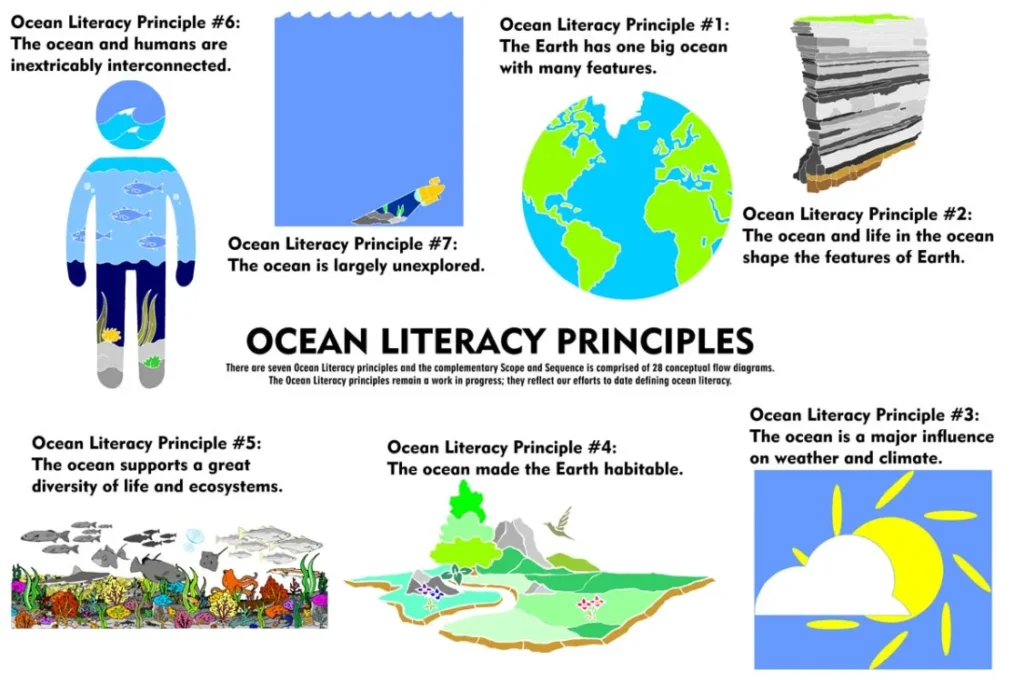
The SEVEN principles of Ocean Literacy images were created by Garry Kendellen, Irish Ocean Literacy Network.
For a version of the Ocean Literacy Principles as Gaeilge please email irishoceanliteracynetwork@gmail.com
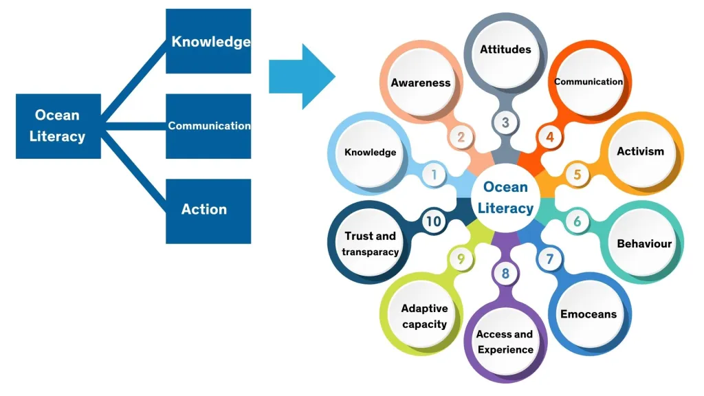
The concept of Ocean Literacy has been evolving since it was first definied and it theiir latest paper ‘The evolution of ocean literacy: A new framework for the United Nations Ocean Decade and beyond’ Mc Kinley et al. 2023 move the concept of Ocean Literacy away from Knowledge, Communication & Action to a more complex framework.
Welcome to the DPSM STEM Series, Science Week Special. In this episode, we explore Ocean Literacy with Galway Atlantaquaria. Learn about the species commonly found on Irish shores, food sustainability and what you can do to protect our oceans. Ocean literacy is defined as an understanding of the ocean’s influence on you, and your influence on the ocean. Check out Galway Atlantaquaria for more activities on ocean biodiversity, conservation and tides.
The Explorers Education Programme is funded and supported by the Marine Institute. It engages with over 400 primary school groups around Ireland annual, delivers teacher and pre-service teacher training and creates curriulum linked content. This work is carried out by a collection of outreach centres and officers. You can download a free Ocean Literacy planning guide for teachers produced by the programme here
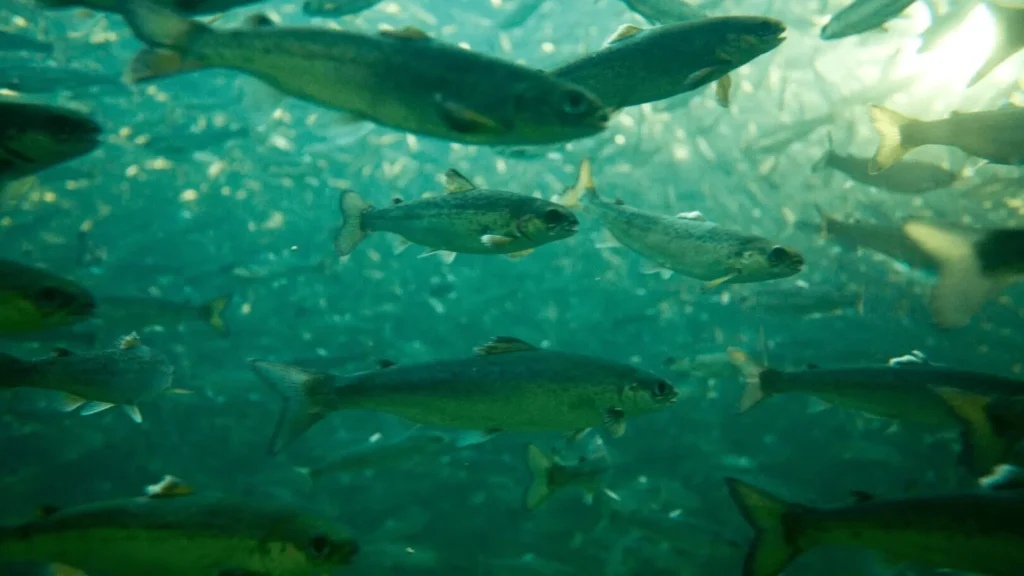
BIM’s Aquaculture Remote Classroom, or ARC for short, is a schools programme aligned with the Irish primary school curriculum. It is designed to help younger audiences learn about aquaculture using immersive technologies including VR headsets so pupils can plunge to the depths’ of the sea to learn about how salmon, oysters and mussels are farmed in Ireland.
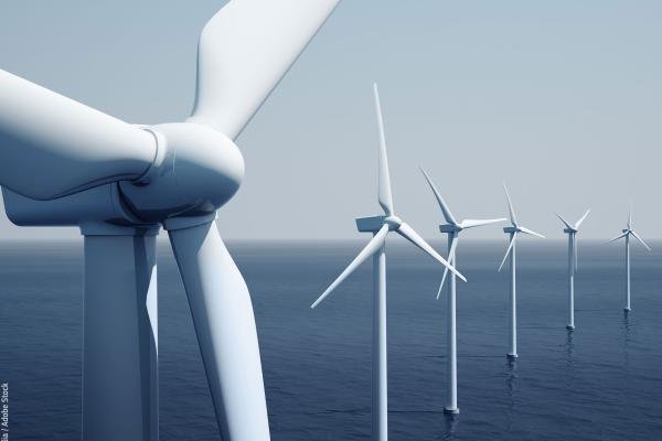
The European Atlas of the Seas provides information about Europe’s marine environment. Users can view predefined and ready to use maps, covering topics such as nature, tourism, security, energy, passenger transport, sea bottom, fishing stocks and quotas, aquaculture, and much more.
Users can also benefit from an enriched catalogue with more than 200 map layers, covering a wide range of topics, to explore, collate and create their own maps. These maps can be printed, shared and embedded in articles or presentations. The Atlas is the ideal tool for schools, researchers and professionals, or anyone wishing to know more about the European seas and its coastal areas.
Please note this is a heavy data site and may take time to load on mobile devices, for help on using the Atlas please go to; Help using Atlas
The SmartBay Observatory is a national shared marine research, test and demonstration facility located on the seabed off the coast of Spiddal, Co. Galway.
The observatory facilitates the development of cutting-edge marine renewable energy and marine ICT products and services.
This is done through the trial and validation of novel marine sensors, prototype equipment and the collection and dissemination of marine data to national and international users of the facility. Follow the live feed here; http://smartbay.marine.ie/
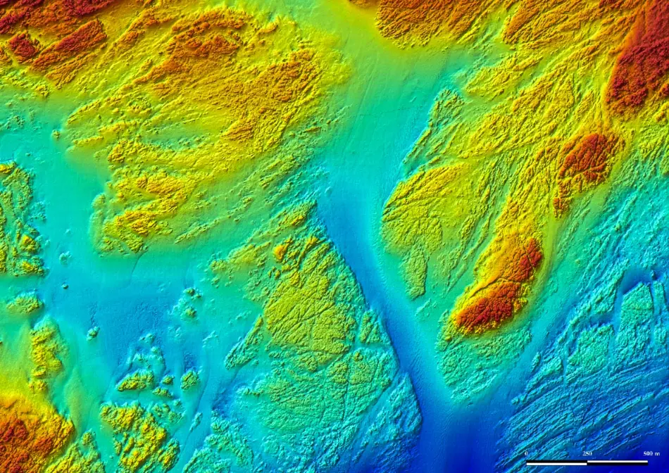
INFOMAR (Integrated Mapping for the Sustainable Development of Ireland’s Marine Resource) is a twenty year programme to map the physical, chemical and biological features of Ireland’s seabed. INFOMAR is funded by the Department of Communications, Climate Action and Environment (DCCAE), and delivered by joint management partners Geological Survey Ireland and the Marine Institute. The programme has placed Ireland centre-stage as global leaders in marine stewardship, seabed mapping and development of marine resources.